NHC's Active Central Pacific , Eastern Pacific , & Atlantic Basin Tropical Cyclones.Current Hurricane Watches & Warnings
Click Here For Current Hurricane Watches & Warnings From The National Hurricane Center.
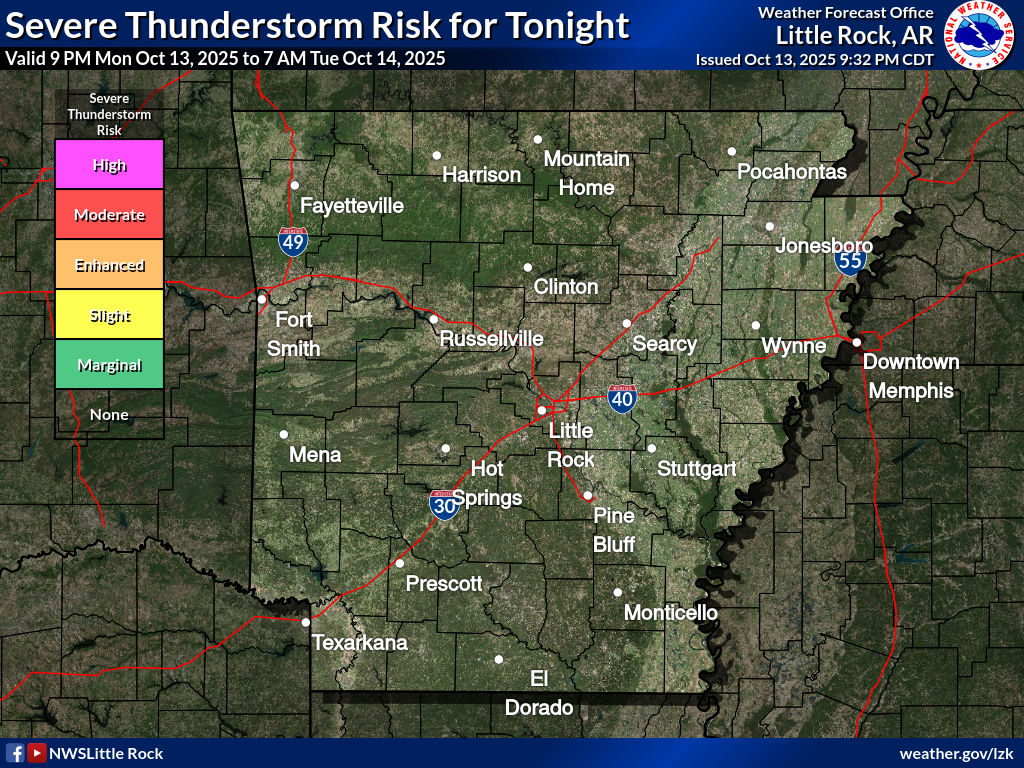
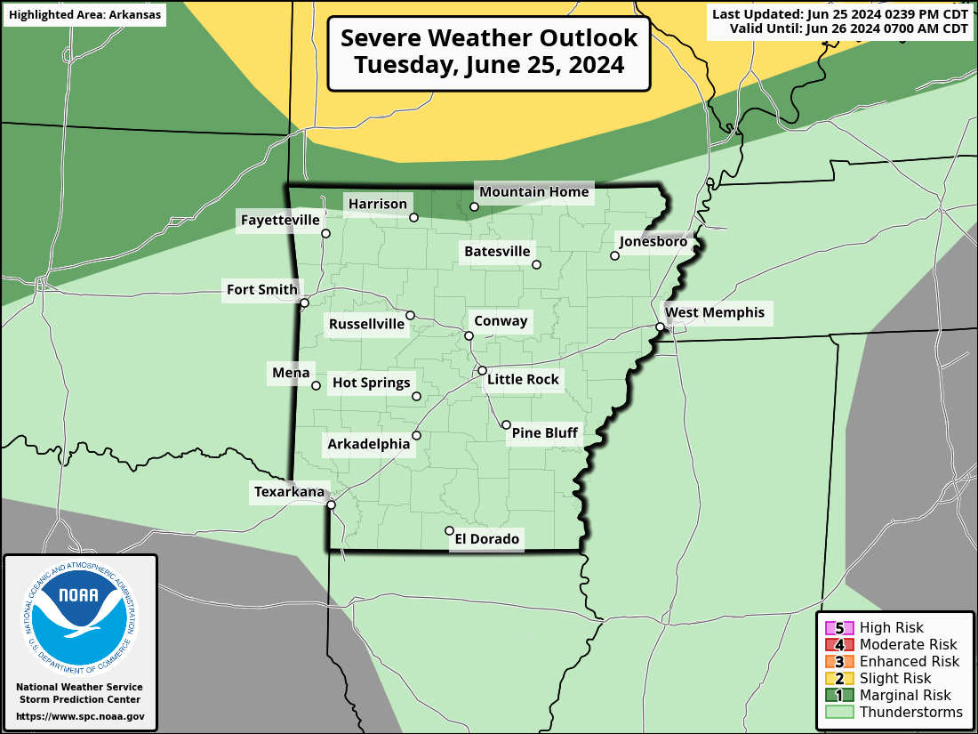
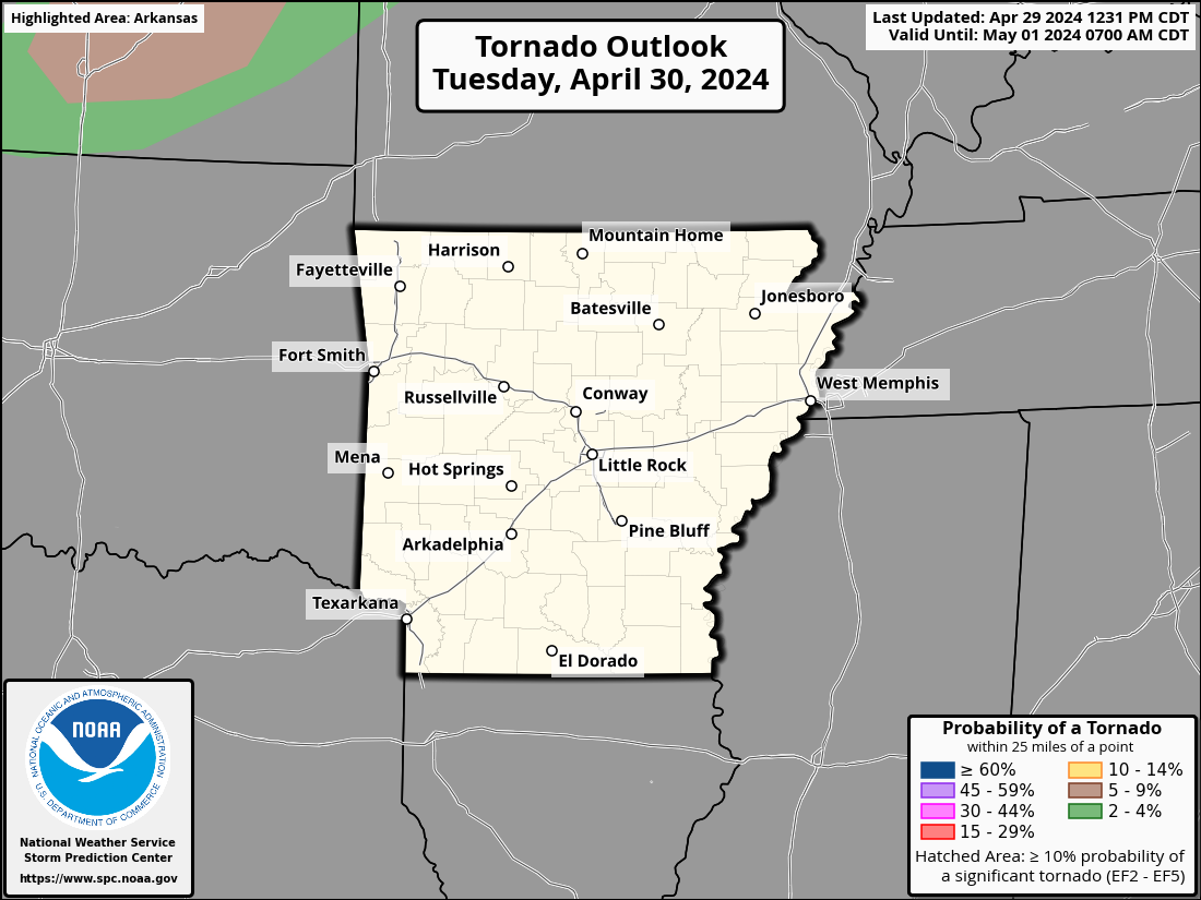
(SPC)'s Severe Thunderstorm & Tornado Watches , Center: Mesoscale Severe & Winter Weather Discussions , & Right: (WPC)'s Mesoscale Flash Flooding Discussions .
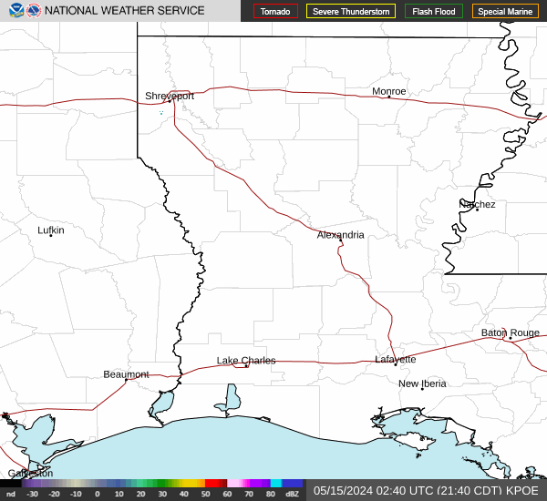
(NWS)'s Lower Mississippi River Valley Radar , Center: (KLZK) Base Reflectivity & Warning Polygon Loop , & Right: NWS Little Rock's Decision Support Page .
Current Central Arkansas NOAA Weather Wire Products
Click Here For Current Arkansas NOAA Weather Wire Products From The National Weather Service In North Little Rock's IEMBOT Monitor.
AHTD's IDrive Arkansas
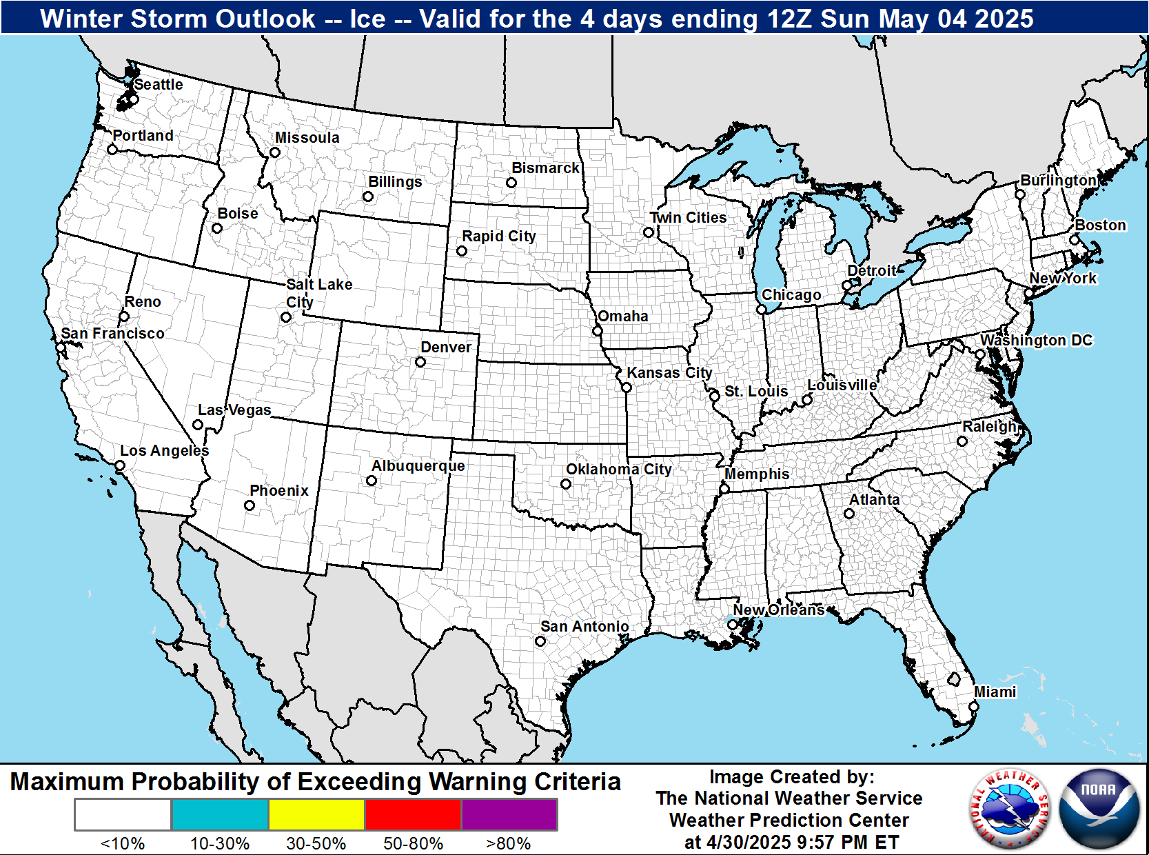
Weather Prediction Center Experimental Winter Storm Outlook (WSO) & Warning Criteria For WFO LZK.
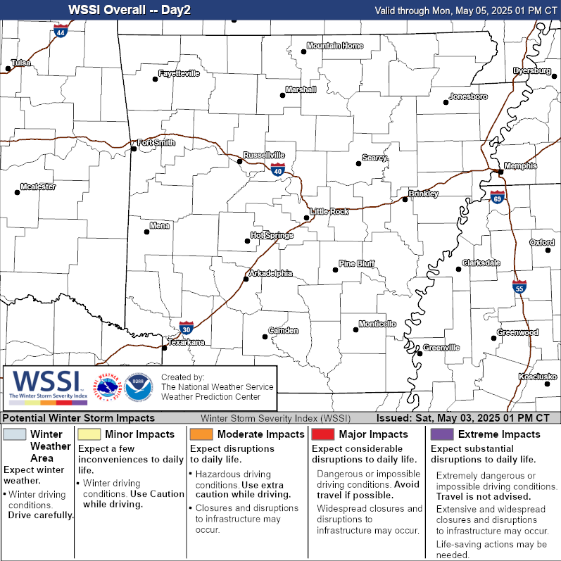
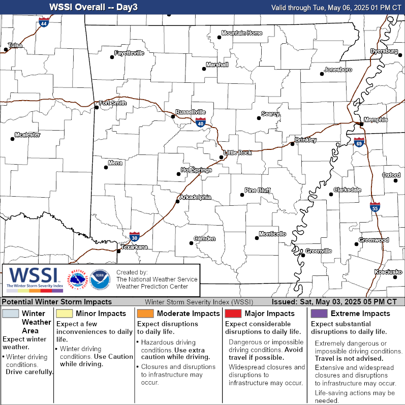
CONUS Winter Storm Severity Index (WSSI) Guidance , (WSSI) Guidance For WFO TSA - Tulsa, OK. , (WSSI) Guidance For WFO SGF - Springfield, MO. , (WSSI) Guidance For WFO PAH - Paducah, KY. , (WSSI) Guidance For WFO LZK - North Little Rock, AR. , (WSSI) Guidance For WFO MEG - Memphis, TN. , (WSSI) Guidance For WFO FWD - Fort Worth - Dallas, TX. , (WSSI) Guidance For WFO SHV - Shreveport, LA. , (WSSI) Guidance For WFO JAN - Jackson, MS .
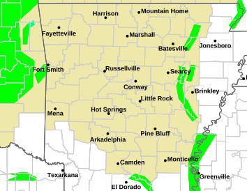
Current Arkansas Watches & Warnings
Click Here For Current Arkansas Watches & Warnings From The National Weather Service.
Multiple Radar Multiple Sensor (MRMS) , (NSSL)'s Arkansas MRMS Data , & (RAL)'s Current US Doppler Radar Data .
Little Rock National Airport 's Flight Tracking Map , WPC's South Central US Surface Analysis With Fronts Loop &, College Of Dupage's AR Surface Analysis Map .Little Rock Adams Field-(LIT) & Northwest Arkansas-(XNA) Airport's TRACON Situational Awareness Display-Web Briefs From Memphis (ZME) CWSU .NWS LZK's Aviation Weather Page , NWS LZK's Hourly Weather Roundup , CWSU (ZME) AIRMET & SIGMETS , & CWSU (ZME) Metro Impact Statements (MIS) .
Above: Click These NWS GOES-16 CONUS IMAGERY (Left - Water Vapor) (Center - Infrared ) & (Right - Geostationary Lightning Mapper) To Enlarge & Loop Them. Click To See The Latest GOES-16 Severe Weather Probability , CIMSS GOES-R LAP Validation Tool , &, Colorado State University - Regional & Mesoscale Meteorology Branch Active Tropical Cyclones .
NCAR Research Application Lab (RAL)'s & Above Right: The Storm Prediction Center (SPC)'s Latest Observed Soundings Maps.
SPC Mesoanalysis Page Viewer
Click Here For Current SPC Mesoanalysis Page Viewer From The National Weather Service Storm Prediction Center (SPC).
SPC Short Range Ensemble Forecast (SREF) Products
Click Here For Current Short Range Ensemble Forecast (SREF) Products Viewer From The National Weather Service Storm Prediction Center (SPC).
SPC High Resolution Ensemble Forecast (HREF) Products
Click Here For Current SPC High Resolution Ensemble Forecast (HREF) Products Viewer From The National Weather Service Storm Prediction Center (SPC).
VIDEO
VIDEO
U.S. Army Corps of Engineers - Little Rock District
VIDEO
U.S. Army Corps of Engineers - Little Rock District
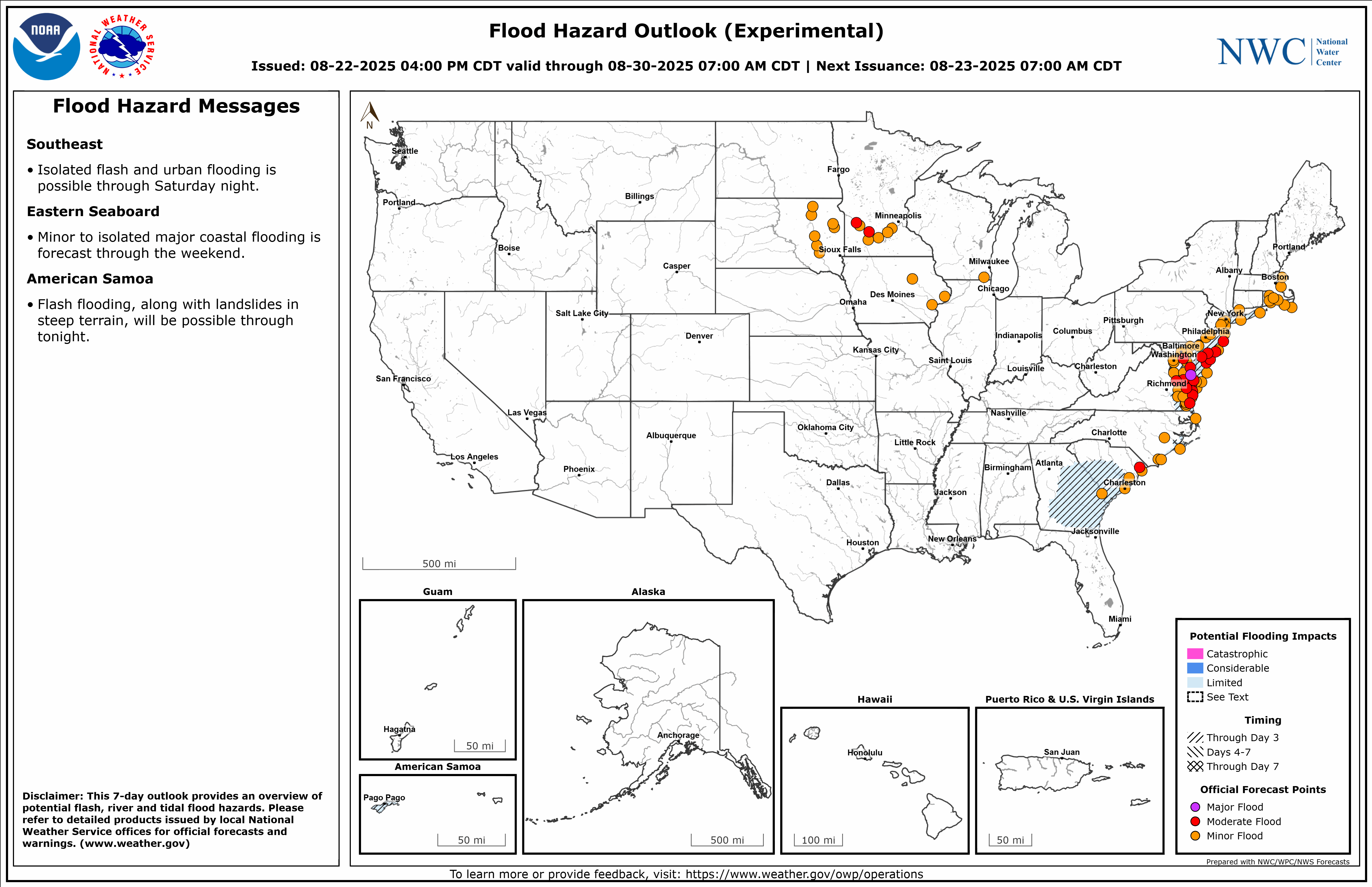
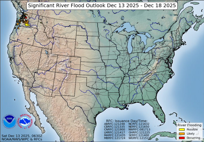
Experimental: National Hydrologic Discussion , Experimental: Area Hydrologic Discussion , Experimental: Flood Hazard Outlook , & Significant River Flood Outlook .
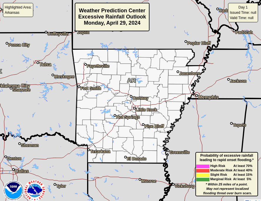
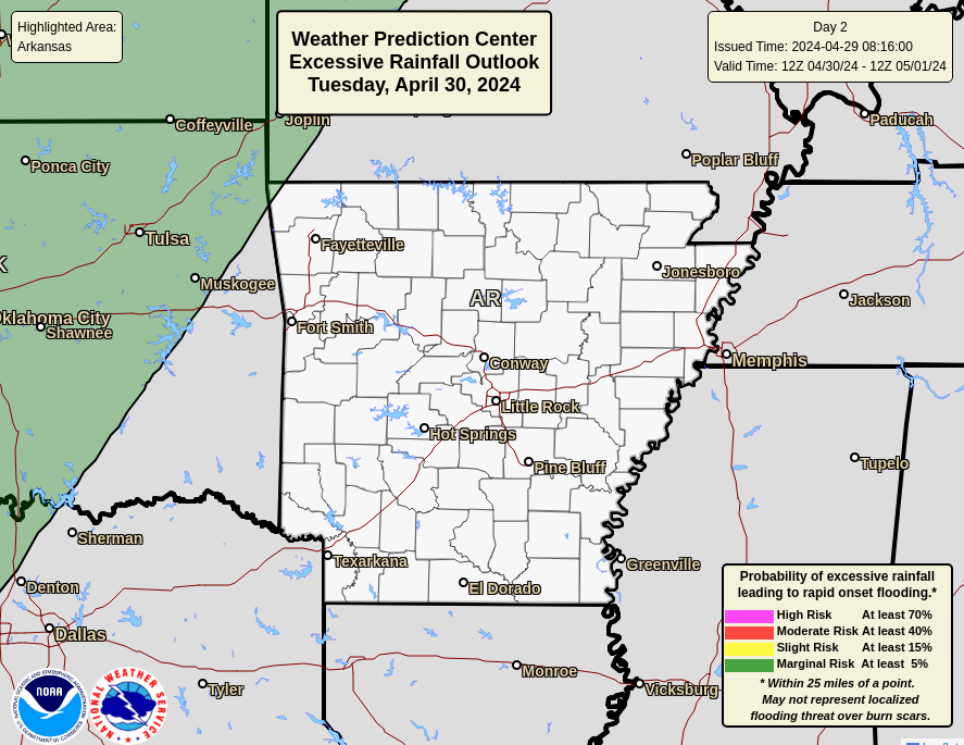
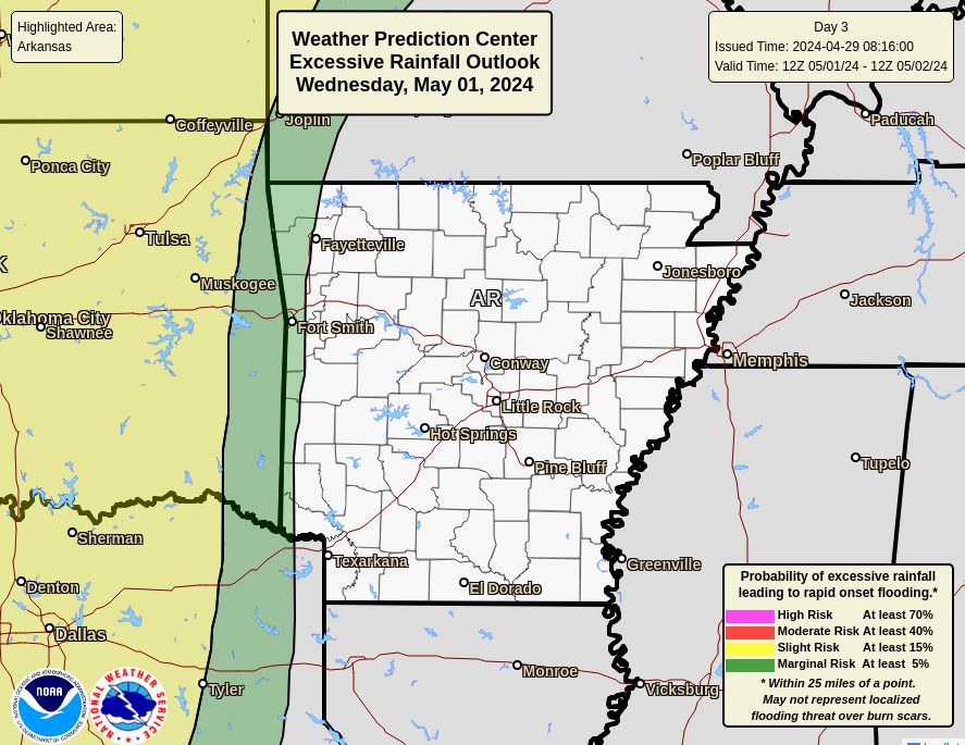
Current Excessive Rainfall Outlook (ERO) Maps For Arkansas.
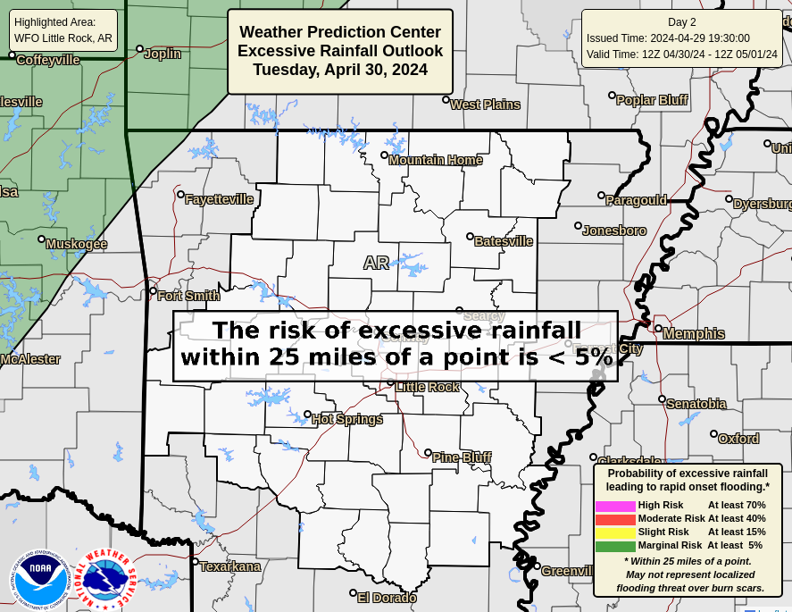
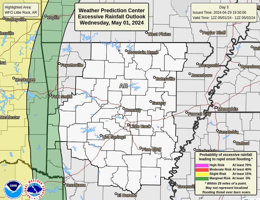
Current Excessive Rainfall Outlook (ERO) Maps For WFO LZK's County Warning Area (CWA).
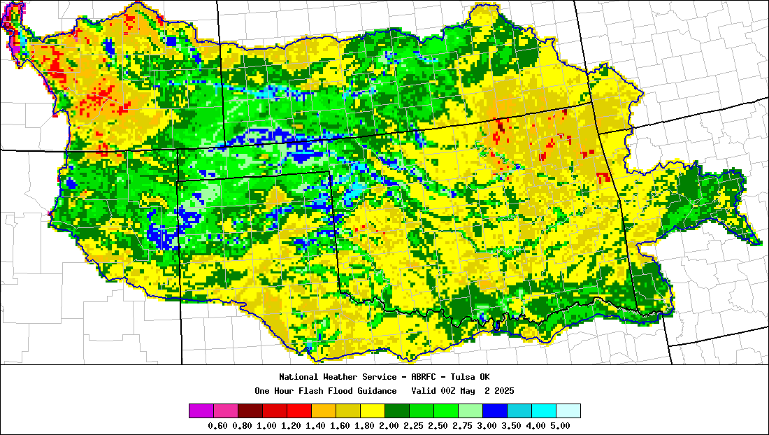
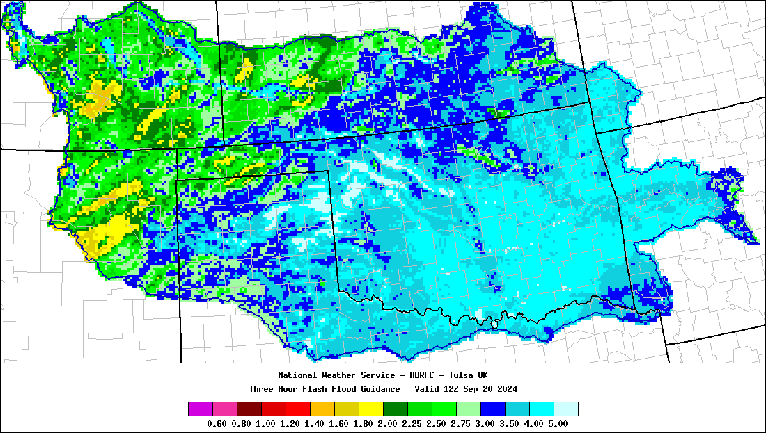
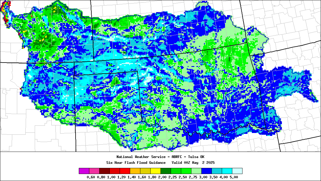
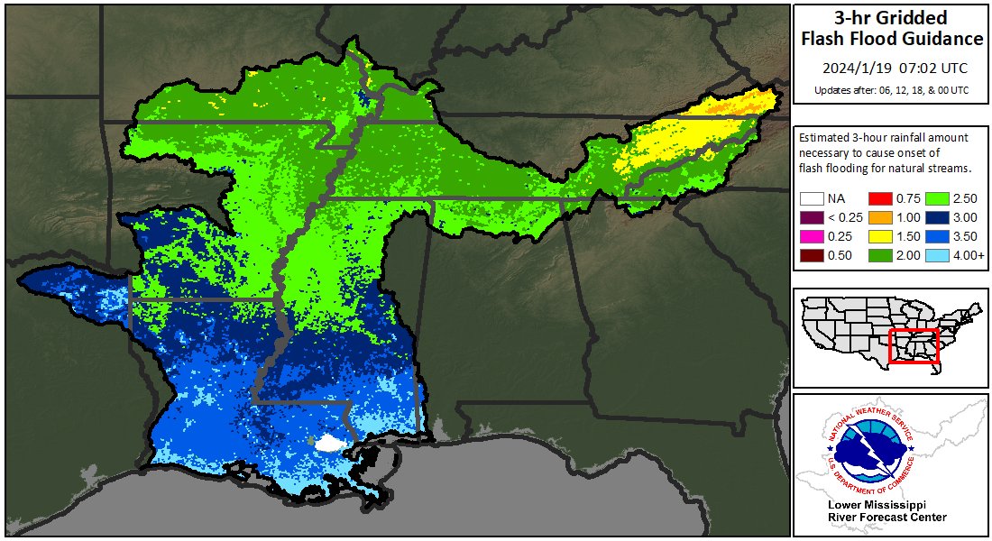
Current 1, 3, & 6 Hour Flash Flood Guidance .
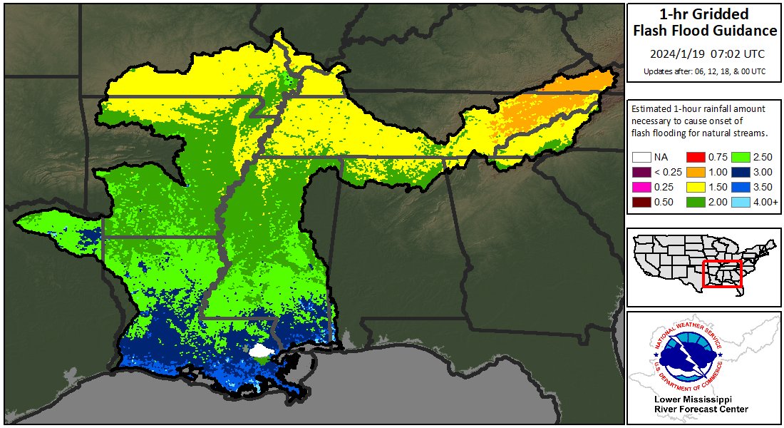
Current 1, & 3 Hour Flash Flood Guidance .
Advanced Hydrologic Prediction Service (AHPS) River Observations & Forecasts, From WFO LZK.
U.S. Army Corps Of Engineers Little Rock
VIDEO
VIDEO
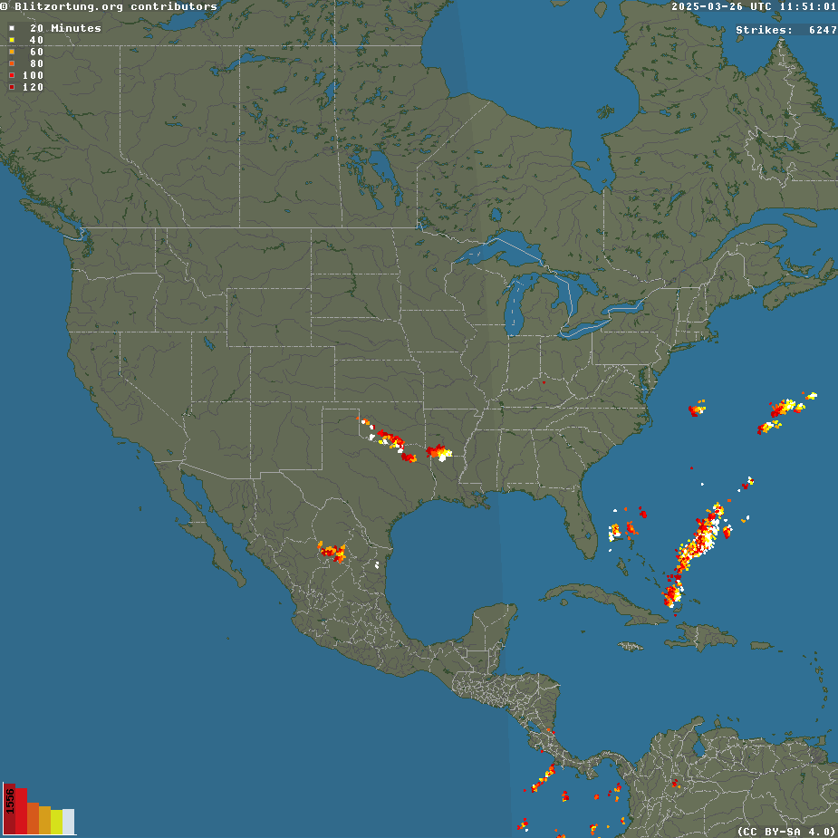
Blitzortung .
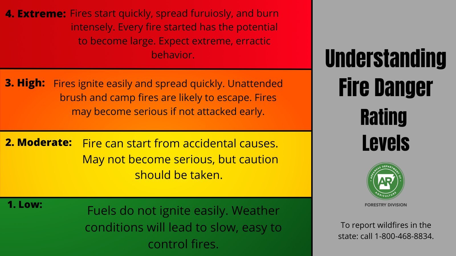
The USFS Wildland Fire Assessment System .
Fire Weather Forecasts , The (AFC)'s Current Fire Danger , & Current Burn Ban Maps. Arkansas-Oklahoma Interagency Coordination Center . Fire Weather Outlooks From The National Interagency Fire Center (NIFC) ,The InciWeb Incident Map For Arkansas. USFS (NIFC)'s Predictive Services Current Weather, &Current NWS Situational Fire Awareness Current AirNow.gov Fire & Smoke
VIDEO
The Arkansas Department Of Emergency Management .
AHTD's IDrive Arkansas
Arkansas Power Outages By Utility .
Entergy Outages
Arkansas Nuclear One Emergency Information .
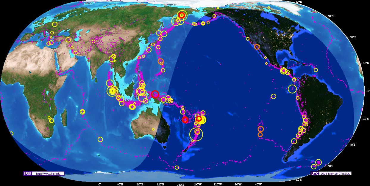
Recent Quakes , NEIC Recent Quakes & U.S. National Tsunami Warning Center's Events. Arkansas Geological Survey Earthquake Information , & Earthquake Report From WFO Little Rock .
VIDEO
VIDEO
VIDEO
VIDEO
VIDEO
VIDEO
VIDEO
VIDEO
VIDEO
VIDEO
VIDEO
VIDEO
IRIS Earthquake Monitor Center .
VIDEO
VIDEO NOAA Ocean Today Video: Tsunami Awareness .
VIDEO
NWS Pacific TWC: Tsunami Warning System .


 The T'Storm & Tornado Crossing Graphics by (C) Todd L. Sherman / KB4MHH. Skywarn Logo (C) NOAA-NWS.